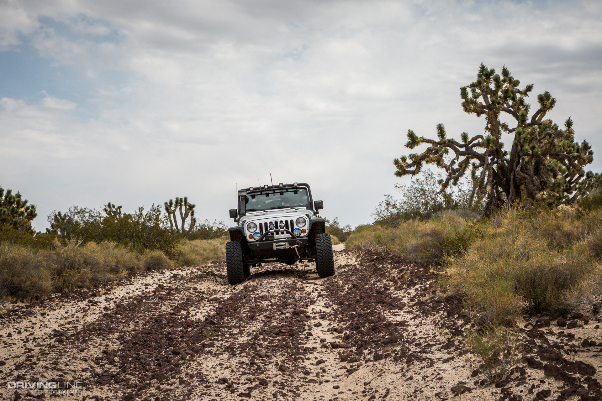
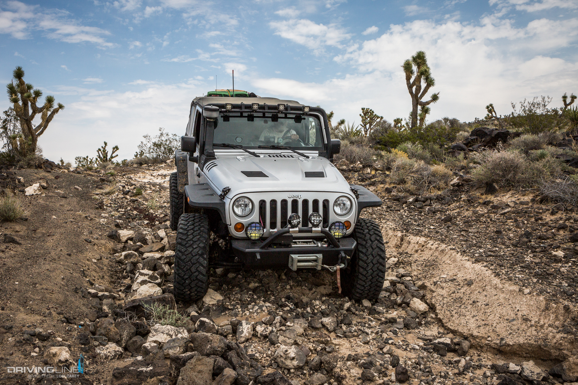
One of the most interesting areas of the Mojave National Preserve is Cinder Cones National Natural Landmark Area. The 25,600-acre area has 40 dramatic red volcanic cinder cones and extensive black basalt lava flows throughout the Cima Volcanic Field, and one of the best ways to experience it is by taking a ride on the Aiken Mine Trail.

Getting to Aiken Mine Trail
There are two ways to access Aiken Mine Road from Cima Road on the northern side of the park. Aiken Mine Road actually splits and forks off into two separate trails on the northern end, both named Aiken Mine Road. The most common way to go is via Valley View Ranch Road, but we prefer the northern-most entrance, a half-mile south of Interstate 15. There is a gas station here at the exit where you can fill up your tank and stock up on any needed supplies.

In the beginning, the trail is very deep with loose sand – you will need 4WD.

Valley View Ranch Undergoing Restoration
At roughly four miles you will reach the abandoned Rock Tank Camp, part of the old Valley View Ranch. The large camp is undergoing restoration efforts by volunteers and will be amazing when it is finished. The hope is that the ranch will provide a staging area and camp for equestrians, as well as other adventurers. As always, please be respectful of the restoration efforts, and don’t cause any damage if you explore (a.k.a. tread lightly and leave no trace).

Exploring Rock Tank Cattle Camp
The Rock Springs Land & Cattle Company ranch divided into three separate ranches between 1928 and 1931 – the Kessler Springs Ranch, the OX Ranch and Valley View Ranch. Rock Tank Cattle Camp at Valley View Ranch is named for the two rock water tanks. There are extensive corrals and numerous outbuildings.

It’s fascinating to see how they built a root cellar in the middle of the desert.

This is the old kitchen. There is information posted on the door about the restoration efforts.

Geological Wonders: Cinder Cones and Volcanic Rock
Past the ranch, you’ll see the distinctive cinder cones off in the distance. Cinder cones are symmetrical cone-shaped volcanoes. When lava shoots straight up in the air, blobs of it fall back to earth close to the vent and cool quickly, capturing the bubbles inside the rock. It is light and porous. As the cinders pile up, they eventually create a steep cone shape around the vent.

Cinders are also called scoria.

As you follow the trail, you’ll begin to notice cinders strewn across the trail. It may appear harmless, but volcanic rock can be extremely sharp and has a reputation for being a tire killer. A friend once got two flat tires out here.

The cinders eventually get so thick that the trail is comprised mainly of the volcanic rock. This region of the Mojave is one reason why we are so particular about what tires we'll put on our Jeep, and Nitto Trail Grapplers let us drive across the sharp rocks with little worry.

Venturing Off-Road: Cima Cinder Mine and Aiken Mine
If you have time to explore, you can bear right at the fork in the trail 2.5 miles past the ranch and take a 4.5 mile spur to visit the extensive remains of the Cima Cinder Mine. The mine is huge; there is so much to see here that you could easily spend several hours checking it all out. Driving on top of the cinder cone feels like being on an alien planet. The ground beneath your feet is red, the hills are red streaked with black and the plant life is stark.

Back on the main trail, it begins to get rough as you get closer to the Aiken Mine. There are some steep and loose climbs, and the descents can be a bit hairy; you will definitely want to use 4WD through here. (See tips for navigating difficult off-road terrain.)

When you get near the mine, follow the left fork to go the top, or remain to the right if you’ve had enough mine exploring and want to stay on the trail. Despite decades of vandalism, you could spend several more hours exploring the extensive remains of this mine. We'll typically visit one mine or the other when doing this trail.

Volcanic Action in the Mojave Desert
Alongside the trail you will see thick black basalt flows.

When a volcanic eruption ends and the pressure is decreased, basalt can slowly ooze across the landscape for miles. These flows can be seen throughout the cinder cones and are typically 10 to 13 feet thick.

The volcanoes here began erupting 7.6 million years ago, and lava last flowed 10,000 years ago.

The trail provides a great view of many of the cinder cones. When you realize how many there are, you might not want to dwell on the fact that they are small volcanoes!

Tackling Lava Tube Trail
When you reach a reverse-Y intersection, look for the sign that marks the Lava Tube Trail and make the sharp turn.

The short half-mile spur leads to a lava tube that you can explore. Lava tubes are created when the surface of a lava flow cools, but the lava beneath the surface continues to flow, creating a tunnel. A collapsed hole in the roof of the tunnel permits people to venture inside. There is a sturdy ladder in place to allow access to the first level, but you’ll have to climb over some rocks to reach the lower chamber. The lava tube is not maintained by the park, so you enter at your own risk.

Off-Road Navigation and Necessities for Aiken Mine Trail
Past the lava tube, the trail is once again sand. You’ll pass by an old corral and cross over the Mojave Road Trail before reaching Kelbaker Road, one of the main roads through the park. A right turn will take you to Interstate 15 and the town of Baker, about 16 miles west. Turning east on Kelbaker Road will take you deeper into the park.

This trail is rough and remote, and we're not kidding about the strong possibility of a flat tire (or two). Do not attempt it if your tires are not in top condition; high clearance and 4WD is required, and a spare tire is an absolute must. Pack your desert survival kit and plenty of water just in case you have trouble. The trail is around 25 miles long without the side trip to the Cima Cinder Mine.


